Satellite Mapping of Land Cover and Use in relation to Oil Exploitation in Concession Block 5A in Southern Sudan 1987–2006
Satellite image analysis of changes in land use patters during the oil war, showing decreases in agricultural activity of up to 80% by 2003.
Document type
Reports ECOS
Publication year
2009
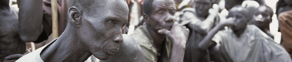
Unpaid Debt
- Database Search
- Unpaid Debt A comprehensive overview of the role of the Lundin Consortium in the oil war. ECOS calls upon the Swedish, Austrian and Malaysian governments to investigate whether, as a matter of international law, Lundin, OMV and Petronas 'were complicit in the commission of war crimes and crimes against humanity by others during the period 1997-2003.’ In response, the Swedish Public Prosecutor for International crimes opened a criminal investigation into ‘links between Sweden and the reported crimes’.
- In Depth For more specific information about the Lundin court case please visit the Unpaid Debt dossier.
